Posted by Celia Brogan
We are halfway through Poetry Month! In a change from last year, this April we are focusing on specifically BC literatures in support of the ABPBC’s Read Local BC campaign but luckily, when we look around poetry features prominently in the local cannon.
Today I would like to continue a thread started yesterday and share another iten created by the intersection of Local + Maps + Story.
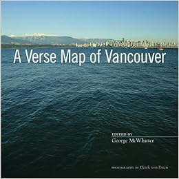 A Verse Map of Vancouver ed. George McWhirter (photographs by Derek Von Essen) is a beautiful volume of poetry and photographs whose aim is to celebrate and “represent the city’s places and principal features in poetry.” (from the introduction) It’s not meant to be exhaustive, but a snapshot of the city (so to speak: the actual photographs often are more portrait-like than snapshot.)
I love the idea of a verse map. Should you be inspired by this idea, the breadth of topography might vary: from covering a region or your entire town, to remaining on within the bounds of the school property.
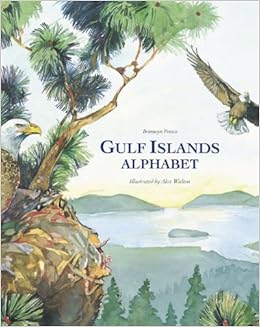 Another book that could fall within the Local + Maps + Story thread, and is simultaneously smaller and larger in scope, is Gulf Islands Alphabet by Bronwyn Preece (Illustrated by Alex Walton). This picture book is a poetic description of the Gulf Islands and the Salish Sea, featuring an alphabetic sequence of alliterative passages accompanied by rich watercolour illustrations. It differs from A Verse Map of Vancouver in that it covers a wider area, but does so with a single text. It’s another option to inspire a way for students to engage with their geography through poetry.
(One drawback of this text for me is the minimal mention of First Nations’ current and historical use of the area as well as not enough information about marine life. These two aspects can serve as entry points for a critical reading.)
If you have a local resource of this sort for your town or area in BC, please share it in the comments!